
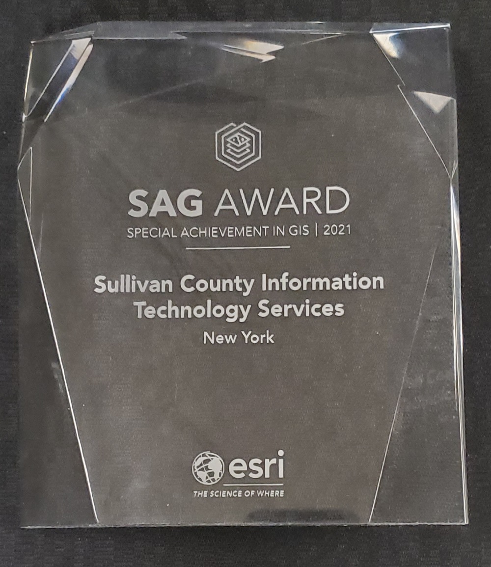
Monticello, NY – Sullivan County’s Geographic Information Systems (GIS) Program recently earned the Special Achievement in GIS (SAG) Award from Esri, a leading developer of GIS products.
“We’re honored to be counted among just 185 winners out of 1,200 nominees from over 60,000 eligible agencies,” remarked Lorne Green, commissioner of the County’s Division of Information Technology Services, which oversees the GIS Program. “And of the 3 county nominations in NYS, Sullivan County was the only governmental agency recipient for the 2021 SAG Award.”
The full list of awardees is at https://events.esri.com/conference/sagList/?fa=List&awardyear=2021.
Each recipient is selected based on three criteria: innovation, the embracing of GIS technology, and the desire to implement change.
“Sullivan County stood out to the nomination and selection committees because of our desire to change the way we conduct business by improving public service through the use of GIS applications and promoting a greater geographic understanding of the communities we live, work, and play in,” GIS Coordinator Jennifer Stone explained.
Stone developed seven public apps at the behest of various departments, including Real Property, Public Safety, Transportation, Board of Elections, Public Health, and Neighborhood Services.
“Of particular note to the committees were the Address Verification App (now known as the Sullivan County Parcel Viewer), which resulted in an almost immediate reduction in the need for in-person address assistance and requested address verification letters,” she said. “Over the course of the first year, this averaged out to a reduction of 30+ customers per day and 8,000 letters per year.”
They also took note of Stone’s creative use of GIS applications in support of the County’s coordination of the Woodstock 50th Anniversary.
They’re Made for You
Many of Sullivan County’s GIS apps are designed specifically for the public to use, and Stone and Green look forward to sharing that knowledge with everyone, especially local school students, as National GIS Day (November 17) approaches.
“I’ve offered to do virtual tours of our GIS systems at area schools,” affirmed Stone. “I want to get kids excited about the field and interested in the possibilities it offers.”
The public can take a virtual tour themselves through a new gallery available via https://secure.scgnet.us/portal/apps/MinimalGallery/index.html?appid=55227b4a1b3842d080220463fab2c1f7. The County’s GIS portal is also a great starting place: https://sullivanny.us/Departments/GIS.